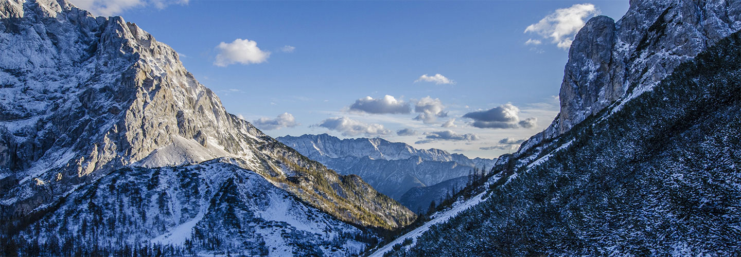
The drive to Oklahoma was windy. Leaving the Wheeler Park area you drive past vast areas of mountains until you get to an area near Eagles Nest. Then the mountains disappear and vast wide open spaces seem to appear out of nowhere. I arrived at Kenton, Oklahoma and the wind was still blowing hard. Once in Kenton you turn north towards Black Mesa. This high point is part of one of the largest mesas in the world. It extends over 40 miles from New Mexico to Oklahoma. An area where the Rocky Mountains meet the prairies. Rattlesnake country…
I was lucky enough to have company at Black Mesa. A young lady by the name of Hailey. She is the daughter of a friend here in Vermont. She now lives in Denton, Texas. We had spoken briefly a couple of times on the phone and she agreed to meet me at Black Mesa. Her third high point! It was an easy climb towards the summit, especially as I couldn’t help but compare it to the day before! At the summit is a seven foot monument. This monument celebrates the fact that Black Mesa sits in the only county in the USA which borders on four states. Colorado, New Mexico, Texas and Kansas. Kind of cool!! Another interesting fact is Black Mesa sits in the panhandle of Oklahoma. An area that used to be No Man’s Land, not claimed by any state. And as such. became a favorite hang-out for outlaws. Their headquarters… the infamous Robber’s Roost!
After I landed in Albuquerque New Mexico, I drove about 3.5 hours north towards the beautiful Carson National Forest. I was amazed at the spectacular golden aspens, the beautiful blue Rio Grande river and the awesome Wheeler Park Wilderness area. I drove through wonderful towns. Red River Valley and Taos. The day before summiting I drove up to the trailhead and climbed to Williams Lake. The views were vast and amazing. I could hardly wait for the next day to summit. Wheeler Peak is ranked the 8th highest high point, at 13,161 feet. The first 2 miles up were totally beautiful. Then I got to the first of two scree fields I had read about in the guidebooks and the wind started to pick up. There was about 30 people attempting to summit. Then I got to the second scree field and the wind was getting fierce. Once you clear the second scree field you start climbing along the open ridge to the summit, which is about 1/3 of a mile. The wind knocked me down three times along the ridge. At points I just sat hanging onto rocks so I wouldn’t get pushed off the backside of the ridge. I noticed many people had turned back by this point and about half the group was still approaching the summit. We were all being blown around. I was thankful for the hand of a man, who reached out to me and pulled me back up on the ridge. I did summit, but as you will see from the photos below it was impossible to take great photos. And I did not get a chance to sign into the register because if I had removed it from the pipe, it would have blown a half mile away in a matter of seconds. I did lose a handheld water bottle in the process. I was also not able to take any scenery photos at the summit. Once I was back off the mountain I looked up the local weather. It said, 35mph wind, gusting to 65mph. I was happy to be out of the wind… or so I thought… I was off to Oklahoma where the wind persisted…
It was a lot of fun driving to this high point! I got off Interstate 70 and then drove about ten miles over route 227. The road was one rolling hill after another! I felt like I was on a roller coaster! After going airborne on one hill, I decided it was time to drive the posted speed limit (especially after noticing the tire marks left on the road from previous drivers who probably did the same thing I did). It was fun!! Up and down, up and down… This high point is on private property so I called the owner before driving to the hill. I didn’t get an answer, but the guidebook states that is your permission to ‘klimb’. So I arrived at the farmhouse, took a right hand turn onto the hay field and there it was. The opening to the woods and the hill. I was thankful for the newly placed marker signs. This high point didn’t have any road signs until a local scout lobbied for them. And the old stone cairn over the fence is also gone. It is a nice point in the woods with a high pointers bench, register and marker! The drive back to Ohio was just as fun driving in the other direction! Up and down… 🙂
The top of Ohio is surprisingly located in relatively flat farmland. At 1,549 feet this high point is considered a drive up. In order to get there you must enter the hill thru the Ohio Hi-Point Joint Vocational School’s campus. This site was once used as a Nike missile site during the cold war and was occupied the Bellefontaine Air Force Station up until the late 70’s and is now used as an active school. The marble stone beside the benchmark was laid in memory of Edward Campbell who once owned the property. If you decide to go to this high point do it during the week, as the gates to the school are closed on weekends!
I decided at the last moment to get one more northern highpoint in as summer was ending and chilly fall conditions were right around the corner. So I packed my backpack and headed to Lake Placid to spend the night. The next morning I got an early start and drove to the trailhead of Mount Marcy, New York state’s highpoint. The weather was perfect. Sunny, clear skies and temperatures in the mid 70’s. I was prepared for a long day as the trail to the summit is 14.8 miles, roundtrip. After an easy 2.3 mile start I arrived at Marcy’s Dam and read the black bear warning signs. After reading the warnings I signed the register declaring where I was going (just in case…) and started up the very technical trail. From this point on, the trail to the summit was wet and full of large rocks and boulders. I didn’t see another person on the trail until I was within 1.5 miles of the summit. Of which, the last 1/2 mile was basically bouldering. Sometimes going down on all 4’s (or on my butt!). It was steep. I thought to myself that this trail was not for beginners and it was more strenuous than I was planning on. After finding the memorial plaque (no benchmark on the summit) I took in the spectacular view. Wow! I could see as far north as Mont Royal, the green mountains to the east and lakes to the south/west. After a couple of quick photos I immediately starting making my way back down the trail. I think it was harder going down than up! It was a long day and I was very happy to have successfully klimbed this challenging highpoint.
I headed up to the high point of Minnesota from Duluth and made my way along the shores of Lake Superior. If was an absolutely beautiful drive. Eagle Mountain is located about 50 miles south of the Canadian border and is the most northern high point in the continental USA (as well as the 9th most remote high point). Oddly enough, it is also located within 10 miles of Minnesota’s low point, which is Lake Superior (600 feet above sea level). The klimb was 3.5 miles up a very rocky trails, full of boulders, stream crossings and bogs. I was thankful I was able to keep my feet dry the entire time. The top of this high point has a reputation for getting people lost and confused. This day was no exception, as I ran into an older couple who had been circling the top of Eagle Mountain in search of the marker. They never did find the marker. You’ll see in the photos below the marker is a plaque embedded into the boulders and it sits very low to the ground. If you didn’t know what you were looking for you could easily walk right by it. After making my way back down from another successful ‘klimb’ I decided I would continue north to Thunder Bay Ontario. I spent the night there and then continued driving the circle around Lake Superior. It was spectacular. The views were awesome. I never intended to circle this lake, but when I found myself following the route I couldn’t turn away from it. After 2,000 miles of driving I finally arrived in Sault Ste Marie, ON. I had completed the circle of Lake Superior. Which, by the way, is the largest freshwater lake in the world by area and holds 10% of the world’s surface fresh water. Kind of neat! I’m off to Pensacola, FL at the end of the month for another attempt at a 100 mile run. The Wildcat 100. Wish me luck!
Wisconsin is also classified as a drive-up. Timms Hill is located within a beautiful state park in the middle of the state. I had an easy drive over miles of roads covering everything from the shores of Lake Superior to the farms within the ‘heartland’. A fire tower sits on Timms Hill and the views were awesome. Another beautiful high point completed.
I had a very long drive from home to this modest high point. I started by heading to Lockport NY for a 50 mile run, which I completed in 13h 44m. Then drove up the next day to visit Jay and Char in Oshawa, ON. The next day I drove to Sault Ste. Marie, MI. I finally arrived at Mt. Arvon the following day. The challenge to this high point was not so much about the klimb, as it is a drive-up, but the drive along miles and miles of remote logging/ATV roads leading to the parking area of Mt. Arvon. And after five days of driving and navigating through remote roads, I was relieved to finally see this high point.
I woke up Saturday morning to temperatures 10-15 degrees below normal. So much for running in the heat. I think it was in the 40’s throughout most of the morning and then the 50’s in the early afternoon. As most of you know, I don’t perform well in the cold and stiffened up with the cool breeze within the first hour. After a bit I finally got into a run/walk rhythm that I could manage in these temperatures. It was a .65 mile loop, which I did 50 times covering 32.5 miles, in just over 7.5 hours. The locals could not understand why this ‘yankee’ (spoken in kindness) thought it was so cold and was wearing three shirts under a fleeze jacket! I eventually removed my hat and gloves, but people still thought I was a ‘crazy’. Well at least I know I’m crazy!! They were all very friendly and I actually had a cold beer with them after I finished!
It’s time to head home and rest! After a national weightlifting contest, a competitive 1/2 marathon, six high points and an ultrarun, I do have to say I’m pretty tired…
I found myself winding around the roads of the Chattahoochee National Forest on my way to South Carolina. A majority of the land I’ve been travelling in over the last two days is Cherokee land. It was great to see how the area has been preserved to acknowledge the Cherokee people and their customs. And after the beautiful scenery I’ve seen over the last week, I was looking forward to Sassafras Mountain. The small towns leading to the mountain were well-kept, which made me even more excited to see what was around the next bend. I eventually arrived at the parking lot, the high point was only 100 feet away, I casually walked around the closed gate up past a cell tower and stood there for a moment or two. I was surprised to see how un-kept the area was. If it wasn’t for the high pointers bench and marker, I wouldn’t have noticed that this was South Carolina’s high point. There is a bench mark here, but again, it is not accurate. The natural high point is about 50 feet away.
I have a rest day planned (Friday) and I have arrived in Kennisaw, GA. I had planned to run a ultra run in Sebastian FL, but it was cancelled. So I eventually found an alternative here in Kennisaw. A 24 hour event. I hope to be able to run/walk for a least 6 hours and no more than 12. I let you know how it goes…