Skip to content
It was a lot of fun driving to this high point! I got off Interstate 70 and then drove about ten miles over route 227. The road was one rolling hill after another! I felt like I was on a roller coaster! After going airborne on one hill, I decided it was time to drive the posted speed limit (especially after noticing the tire marks left on the road from previous drivers who probably did the same thing I did). It was fun!! Up and down, up and down… This high point is on private property so I called the owner before driving to the hill. I didn’t get an answer, but the guidebook states that is your permission to ‘klimb’. So I arrived at the farmhouse, took a right hand turn onto the hay field and there it was. The opening to the woods and the hill. I was thankful for the newly placed marker signs. This high point didn’t have any road signs until a local scout lobbied for them. And the old stone cairn over the fence is also gone. It is a nice point in the woods with a high pointers bench, register and marker! The drive back to Ohio was just as fun driving in the other direction! Up and down… 🙂
The top of Ohio is surprisingly located in relatively flat farmland. At 1,549 feet this high point is considered a drive up. In order to get there you must enter the hill thru the Ohio Hi-Point Joint Vocational School’s campus. This site was once used as a Nike missile site during the cold war and was occupied the Bellefontaine Air Force Station up until the late 70’s and is now used as an active school. The marble stone beside the benchmark was laid in memory of Edward Campbell who once owned the property. If you decide to go to this high point do it during the week, as the gates to the school are closed on weekends!
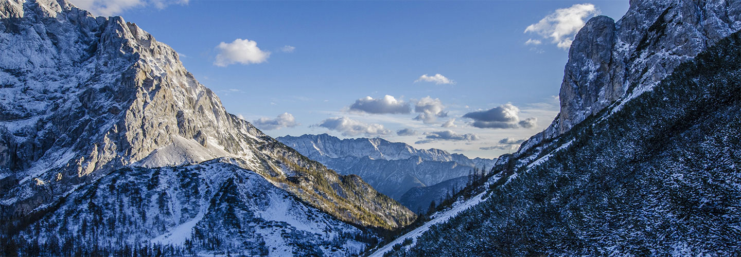
I decided at the last moment to get one more northern highpoint in as summer was ending and chilly fall conditions were right around the corner. So I packed my backpack and headed to Lake Placid to spend the night. The next morning I got an early start and drove to the trailhead of Mount Marcy, New York state’s highpoint. The weather was perfect. Sunny, clear skies and temperatures in the mid 70’s. I was prepared for a long day as the trail to the summit is 14.8 miles, roundtrip. After an easy 2.3 mile start I arrived at Marcy’s Dam and read the black bear warning signs. After reading the warnings I signed the register declaring where I was going (just in case…) and started up the very technical trail. From this point on, the trail to the summit was wet and full of large rocks and boulders. I didn’t see another person on the trail until I was within 1.5 miles of the summit. Of which, the last 1/2 mile was basically bouldering. Sometimes going down on all 4’s (or on my butt!). It was steep. I thought to myself that this trail was not for beginners and it was more strenuous than I was planning on. After finding the memorial plaque (no benchmark on the summit) I took in the spectacular view. Wow! I could see as far north as Mont Royal, the green mountains to the east and lakes to the south/west. After a couple of quick photos I immediately starting making my way back down the trail. I think it was harder going down than up! It was a long day and I was very happy to have successfully klimbed this challenging highpoint.